Þingvellir: A Landscape That Already Feels Like a Border
Iceland's rift landscape offers a way to think about the Vale, but its geology and assembly history are the deeper reasons to linger.
Spoiler scope: Season 4 travel settings; no major outcomes.
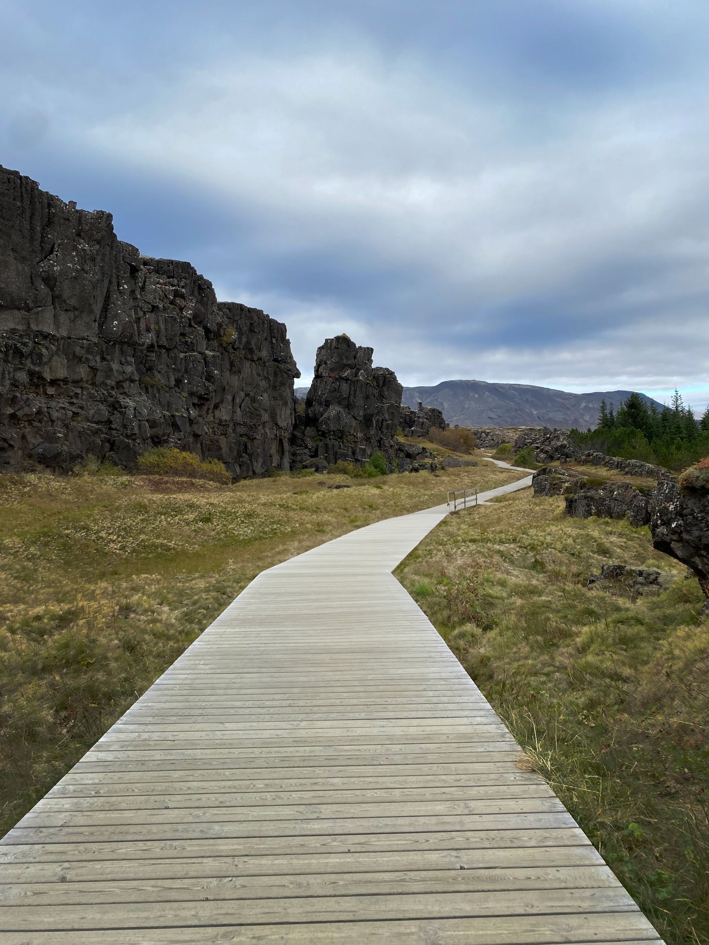
Rock can shape a journey before a gate appears
Þingvellir National Park is one of Iceland's Game of Thrones filming landscapes. Its rocky passages are associated with the approach to the Vale in season four. The resemblance is spatial rather than architectural: steep sides and a constrained route can make a traveller feel admitted, channelled or watched before any fictional fortification is added to the image.
Do not arrive expecting a preserved Bloody Gate or a castle at the end of the path. A screen location can contribute terrain without containing the complete structure that viewers remember. The photo accompanying this article shows the actual park landscape, not a production still and not proof that the precise boardwalk view appeared in an episode.
Two histories, neither invented for television
Visit Iceland describes Þingvellir as a rift landscape associated with the boundary between the North American and Eurasian plates. That geological process is larger and more gradual than the popular image of a single crack dividing two neat continental blocks. Looking at the changing levels, rock walls and open ground is more useful than searching for one line on which to pose.
The site is also central to Iceland's political history: the Alþingi was established here in 930. That background offers a striking contrast with the fictional politics fans bring to the visit. In one reading of Westeros, narrow approaches protect elite strongholds from intrusion. At Þingvellir, the landscape also carries the history of assembly, law and public gathering. The comparison should prompt questions, not imply that the two political systems are equivalents.
A good visit can hold all three layers together: geology, historical use and recent screen imagery. None needs to cancel the others. A rock formation is not made more valuable because a camera used it, but a familiar scene can give a visitor a first reason to notice how the terrain directs movement.
Choose a route that conditions allow
Start with the national park's current visitor information rather than a collection of filming pins. Confirm the route, parking arrangements and any closures, and take weather and surface conditions seriously. The ease of a path in one season does not establish how it will feel under ice, wind or reduced visibility.
Stay on designated paths and boardwalks. A slightly different photograph does not justify stepping into fragile vegetation or approaching an unprotected fissure. If your group includes people with differing mobility or stamina, choose the route together before setting out and leave room to turn back. The park's visitor interpretation can provide a rewarding encounter even when an ambitious walk is unsuitable.
The strongest connection to the series may ultimately be a sensation rather than a matched screenshot: the way a passage narrows attention, then releases it into a wider view. Notice that change, and Þingvellir becomes more than a stop labelled with a fictional kingdom.
Use the screen connection as an entry point, then give equal attention to the park's geology, history and present conditions.
Another angle on the story.
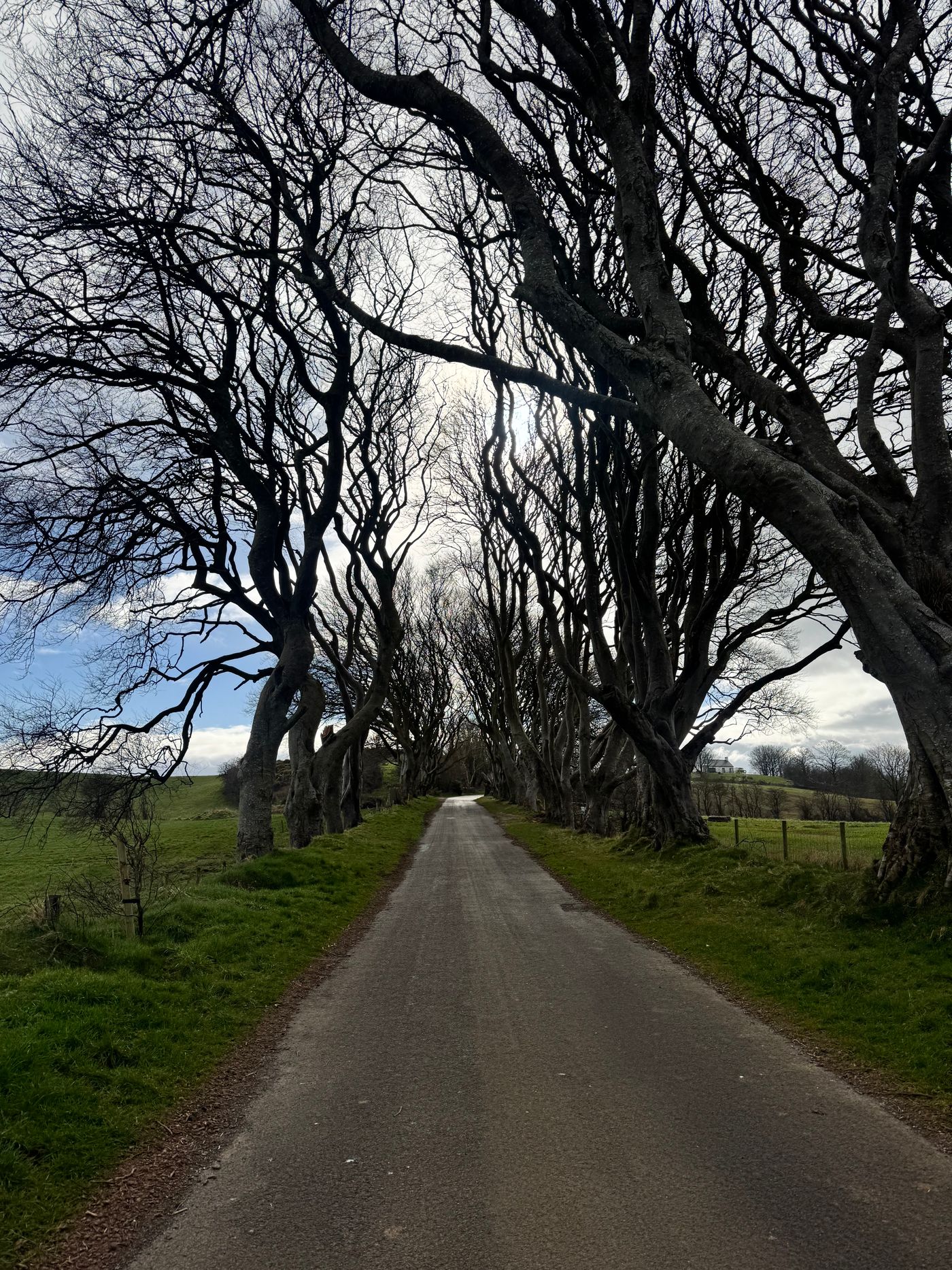
The Dark Hedges: A Road Between Two Worlds
The Kingsroad is a brief screen appearance. The real avenue rewards a slower look at its trees, perspective and vulnerability.
Read the essay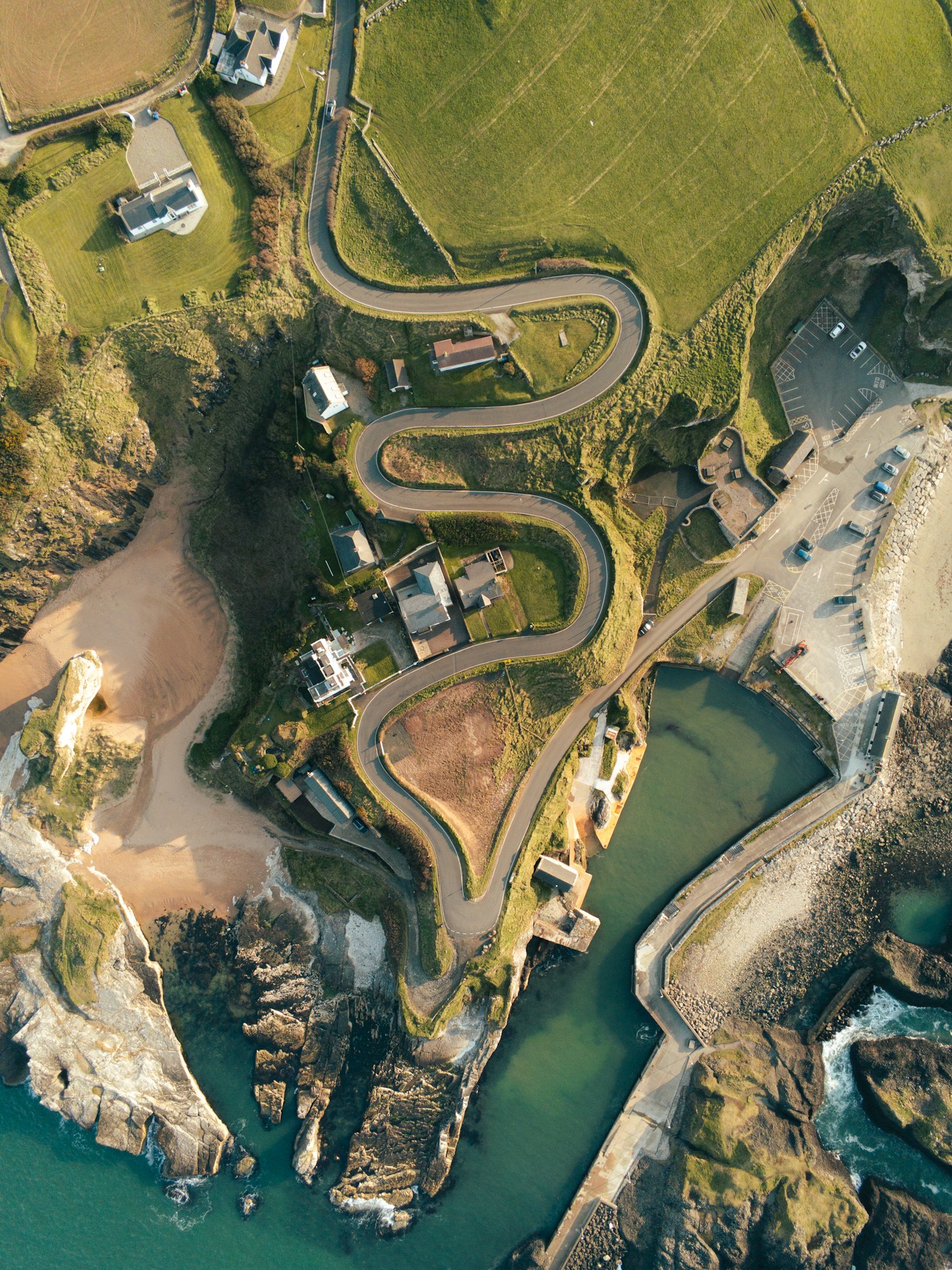
Ballintoy Harbour: The Iron Islands at Human Scale
A small harbour supplied a convincing arrival in the Iron Islands. Its enclosed water and exposed coast explain why.
Read the essay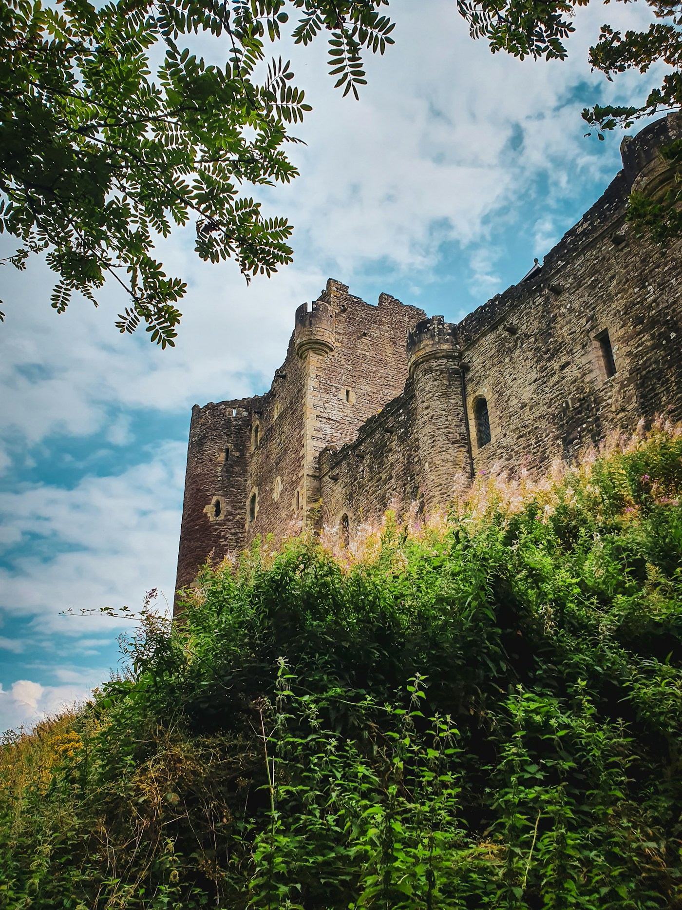
Doune Castle and the First Idea of Winterfell
The pilot connection matters, but this Scottish castle is not a complete model of the Winterfell seen throughout the series.
Read the essay